If you take time to read the script, the photo's should load as you scroll down.
 |
The site of the dropped Maerdy Bridge (Bridge 102 ) at Penthryn-fawr can be seen in the centre of the photo. |
 |
Looking across the A483 Manchester to Swansea trunk road from the dropped Maerdy Bridge, the canal can just be seen heading in the direction of Arddleen. |
 |
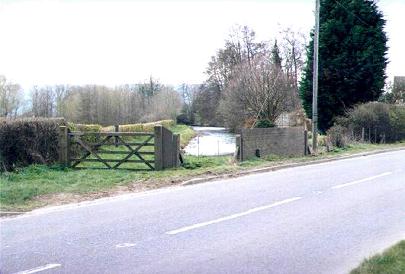
At Arddleen, the canal is once more crossed by the A483 trunk road. At this point the towpath passes under the bridge 8 foot below the level of the water. (When the Arddleen bypass was built it was intended to drop the level of the canal between Burgedin and Maerdy by removing the top lock from Burgedin and building a new lock north of the dropped bridge at Maerdy.) |
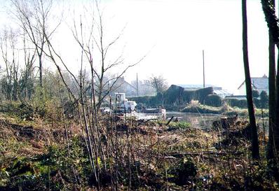 |
Shortly after leaving the A483, dredging and bank clearance work was well under way. You can just see the dredger working in the centre of the photo. |
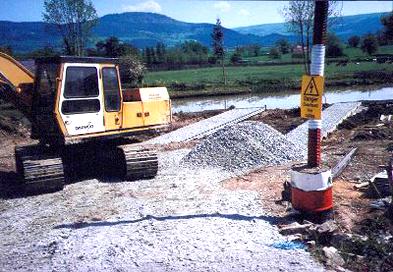 |
This is the same area as the last photo but shows the new wharf under construction. The pilings can be seen outlining the standings. |
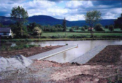 |
After dredging had been completed and water let into the mooring. The hard access had still to be completed but the project was on schedule. |
 |
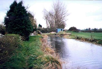
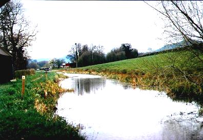
Just outside the village of Arddleen, the canal is very wide and is of sufficient width to wind a boat if it is so desired. |
 |
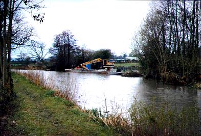
Unloading dredgings from a temporary standing by the B4392. A waiting tug is seen by the far bank. |
 |
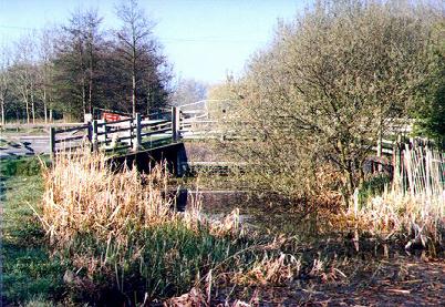
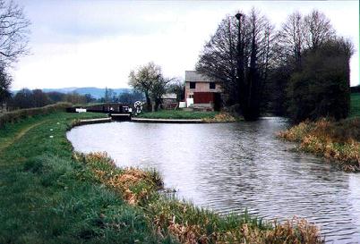
This view from Dragon Bridge (Bridge 104) is towards Burgedin Locks. The gates of the top lock can just be seen in the distance. |
 |
A closer view of the top lock at Burgedin. The Guilsfield Branch (now designated as a nature reserve) is seen going off to the right of the photo. Just after leaving the main line, a low pipe crossing the canal prevents navigation. |
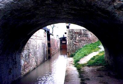 |
This photo taken from under the road bridge at Burgedin is looking back into the top lock. The lock has a rise of 8'1". |
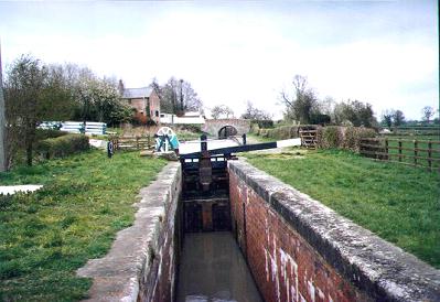 |
Looking back towards the top gate of Burgedin Bottom Lock. The paddle gear sited to the left of the top gate was forged at Coalbrookdale in the Ironbridge Gorge. |
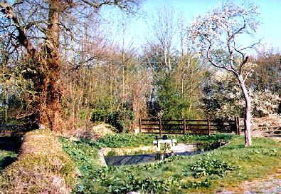 |
Tranquil scenes adjacent to the locks can be enjoyed if you wish to sit and rest a while. |
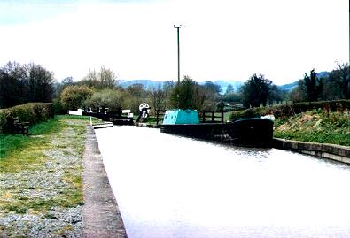 |
Moored on the offside of the pound above the bottom lock, a British Waterways workboat reminds us that we have now reached the navigable Prince of Wales length. |
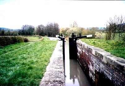 |
The open gates of the bottom lock invite us to continue downwards to the bottom level and head in the direction of Welshpool. |
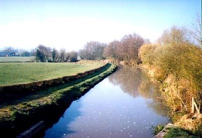 |
Leaving Burgedin. This is the view that you see from the bottom lock as you head west through farmland in the direction of Welshpool. |
 |
Back to Home Page. |  |
Pete's MONTGOMERY CANAL Website. |  |
To contact the Webmaster. |