 |
Brynderwyn.
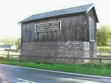
Prominently sited by Brynderwen Lock at Abermule, sandwiched between the canal and the A483 trunk road is the Shropshire Union Canal Company Warehouse. A peculiarity in the canal company maps named the lock Brynderwen but the bridges Brynderwyn. |
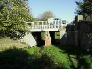 |
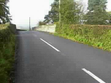
Brynderwyn New Road Bridge ( Bridge no.
147 ).
The bridge itself was cast in 1853 at the Brymbo Ironworks near Wrexham but, due to increased traffic loading, a brick pillar had to be constructed to support the center of the bridge. Weight restrictions were later imposed as weights became even heavier. |
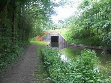 |
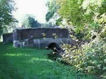
Abermule By-pass Bridge (Bridge no. 147a) seen from the towpath on the approach from the Brynderwen side. The bridge provides navigable headroom but has not been provided with a tow-path. |
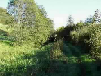 |
A light at the end of the tunnel.
A view of the previously seen bridge on the approach from Byles Lock. |
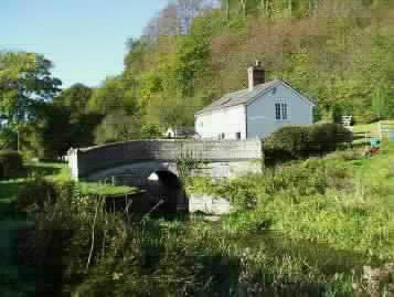 |
Byles Lock Bridge (Bridge no. 148).
After leaving both the road and the river, the canal follows the contour of the hill before a gentle rise in the land brings us to Byles Lock Bridge with its lock keepers cottage. |
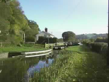 |
Byles Lock with its lock keepers
cottage is found past Bridge number148
The lock has a rise of 7 foot 2½ inches and is in a good state of repair having already been restored. The entrance to the bye-weir is clearly seen to the left of the photo. |
 |
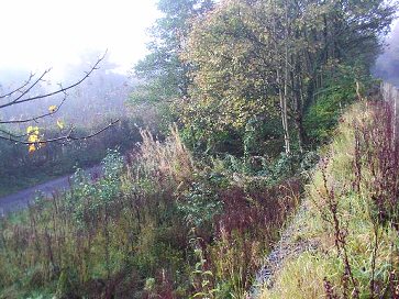
Leaving Byles lock, the canal passes
through another attractive tree lined section.
Evidence of bank restoration work is marked by metal bank pilings.. |
 |
New House Lock Bridge ( Bridge no. 149
).
New House Lock Bridge with its overgrown approach brings us to a collection of houses and farm buildings which are the last habitations for over half a mile before reaching Aberbechan. |
 |
New House Lock (7 foot 9½ inches rise)
.
Between New House Lock Bridge (No. 149) and New House Bridge (No. 150) lies New House Lock itself. Badly in need of restoration, it is the next restoration project for the SUCS work team . Evidence of their presence is noted by the containers on the lock side and a start of work on the bye-weir. |
 |
Aberbechan.
The Bridge, Aberbechan Kiln Bridge ( Bridge no. 151), marks the site of an area that in years gone by had boasted a coal wharfe, lime kiln and corn mill.. |
 |
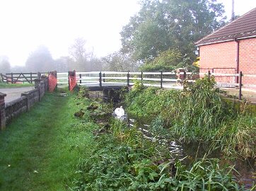
Aberbechan Aqueduct ( Bridge no.
151A).
Just past Aberbechan Kiln Bridge we come to the Bechan Brook over which the canal passes on a mainly stone built three arch aqueduct but some brickwork was incorporated in its construction. A feature of this aqueduct are the stone cutwaters that are of a well proportioned curved and pointed construction . |
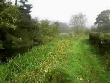 |
A view along the towpath looking in the direction of Aberbechan Aqueduct from the Aberbechan Road Bridge (Bridge no. 152 ). |
 |
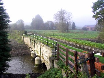
Aberbechan Road Bridge ( Bridge no.
152).
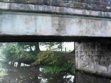
This bridge is constructed of stone piers with tied brick jack arches supporting moulded cast iron girders that have produced one of the strongest bridge structures of the whole canal. The North side of the bridge carries the mark of the Brymbo (Wrexham ) Ironworks and a construction date of 1852. |
 |
Bridge number 152.
Another view of the Aberbechan Road Bridge, this time from the B4389 that is carried over the bridge from the A483 trunk road towards the village. Note the stone parapet walls on either side of the road as it rises gently over the canal. |
 |
View of the original path of the
canal and towpath seen through the scrub that now covers it.
This photo was taken from the side of the adjacent road as the canal approaches the Newtown area. |
 |
Behind the old buildings of the Central Daries, Newtown Depot that was built over the course of the canal. At this point, only the embankment separated its course from the River Severn. |
 |
Off Canal Road, Newtown, a transport depot now covers the line of the canal but evidence of its path can still be found. This was the site of a bridge. |
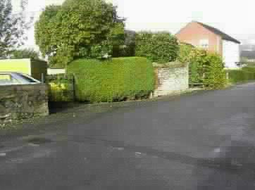 |
On the opposite side of the road to the previouse photo, part of the bridges wall is still evident, incorporated into the garden boundry. |
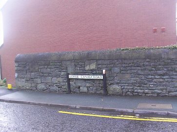 |
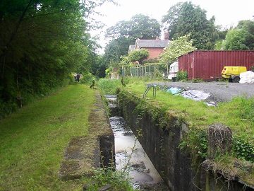
This road sign "LOWER CANAL ROAD" is the only evidence that remains of the canals terminal basin at Newtown. The whole area is now covered by new residential properties. |
 |
 |
 |
| BACK TO HOMEPAGE. | Pete's MONTGOMERY CANAL Website. | Contact the Webmaster. |