 |
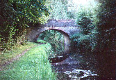
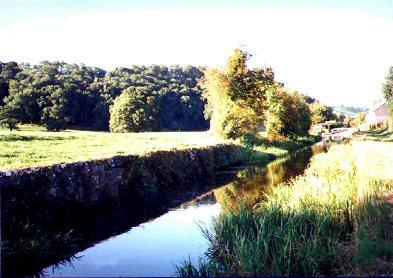
Sweeps Bridge (122). After leaving Belan Locks and heading towards Newtown, the canal travels along a gently sloping hillside, passing through a wooded area. This photo showing Sweeps Bridge (number 122) and gives you an insight into the type of scenery to expect. |
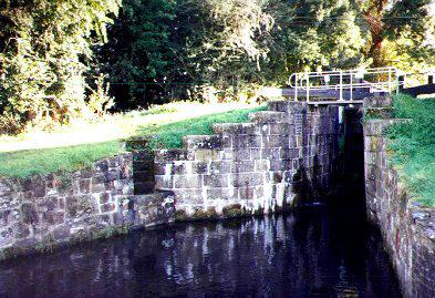 |
Brithdir Lock (rise 9' 1.5") Brithdir Lock. Substantially constructed of large stone blocks with a footbridge preceeding the bottom gates. Note the steps for ease of access to boats leaving or entering the lock. |
 |
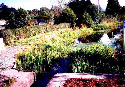
Brithdir Lock. Another view of Brithdir Lock looking Back towards Welshpool. To the left of the canal, as you can see in the photo, there is a large pond. |
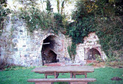 |
Brithdir Lime Kilns. At Brithdir, between the Horseshoes Inn (adjacent to the A483 trunk road) and the Lock you will find a fine example of the lime kilns used in this period, together with a small "picnic area". |
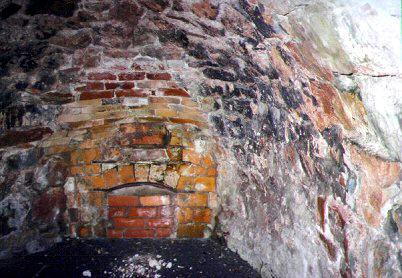 |
Brithdir Lime Kiln. This is one of the lime kilns that is available to view at Brithdir. The entrance to the hearth is bricked up but you can see a good example of a kiln entrance. The kilns are situated behind the "Horseshoes Inn". Parking is available as is refreshment at the aforementioned establishment. |
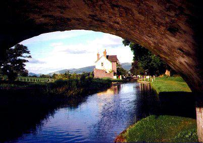 |
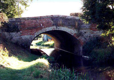
View from under Brithdir Bridge (number 125). Looking east in the direction of the lock. In the late 1800's , a warehouse and blacksmiths were sited here along with the lime kilns. Note the unusual siting of handrails at the waters edge just above the lock making it awkward for boaters. |
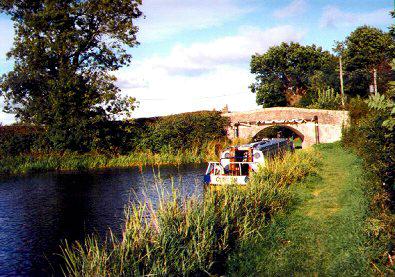 |
Another view of Brithdir Bridge. This was the scene viewed from the western side of the bridge. A hire boat "Clifton", was moored at this convenient site whilst its occupants enjoyed the tranquility of the area. |
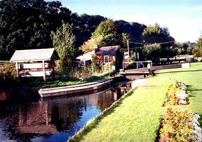 |
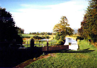
Berriew Lock (Rise 8' 5.5") This lock is sometimes known as Rectory Lock. The lock has an adjacent "lock keepers cottage" and is surrounded by well maintained gardens. |
 |
Berriew Lock viewed from the Newtown side. The stone built wharf wall that you can see to the left of the photo is all that remains to mark the wharf area, although, until recent years a crane used to exist here. |
 |
Leaving Berriew Lock and heading west you come to Long Bridge (number 128). You can just see the site of Lloyds Coal Wharf, to the right of the canal, just through the bridge. |
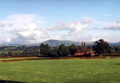 |
From the top of Long Bridge at Berriew you can enjoy extensive views over the Severn Valley.
|
 |
Long Bridge at Berriew seen from the western side. The site of Lloyds Coal Wharf is on the off-side. Near to where this photo was taken, a winding point marks the site where the former Rhiw Feeder entered the canal. |
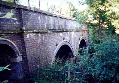 |
Berriew Aqueduct seen from the car park and picnic site. The river is spanned by two, thirty foot arches. The arch to the left of the photo spans a minor road running parallel to the river. This aqueduct is constructed mainly from engineering brick and was virtually rebuilt in 1889. The river bed below the aqueduct was paved to reduce river "scour". |
 |
The narrows carrying the canal over the aqueduct at Berriew. |
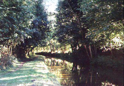 |
Typical of the many wooded sections of the "Monty", this is the view that you get as you leave the aqueduct and head in the direction of Newtown. |
 |
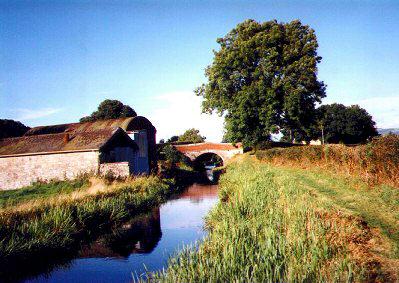
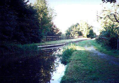
Berriew Wharf. Taken from the dropped Efail Vach Bridge (number 129) showing the wharf and large winding point. This marks the western limits of the navigable Prince of Wales section. |
 |
From the top of the dropped Efail Fach Bridge (129) at Berriew showing the end of the culvert carrying the canal under the road to Berriew Village. Berriew is well served by pubs and restaurants. The Andrew Logan Museum of Sculpture is also only a short walk away if you wish to visit it. |
 |
 |
 |
| BACK TO HOMEPAGE. | Pete's MONTGOMERY CANAL Website. | Contact the Webmaster. |